The North Fork of the John Day River

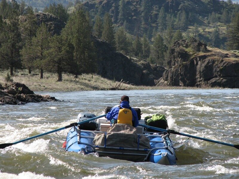
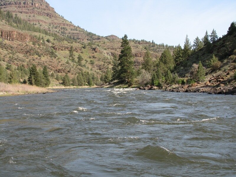
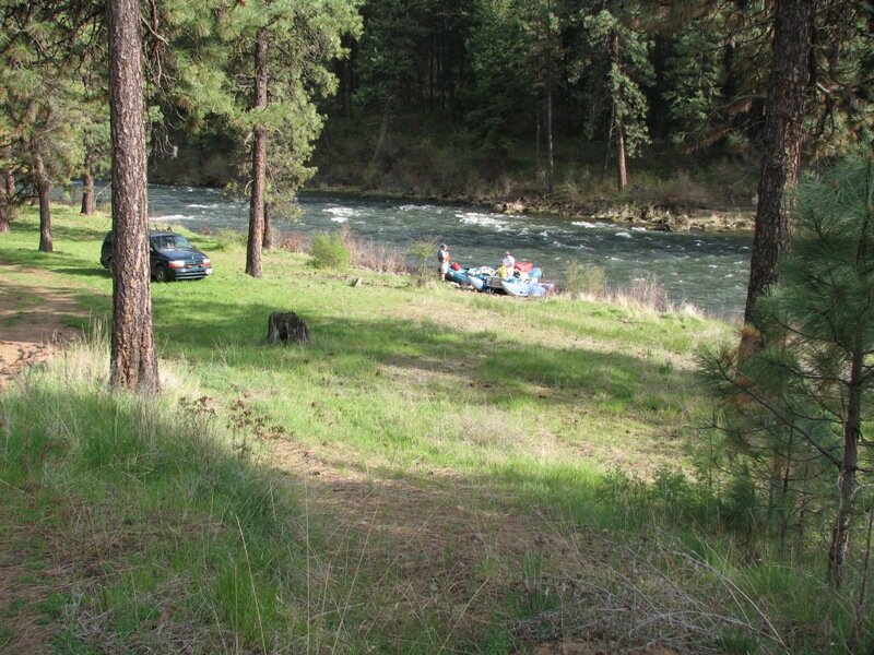
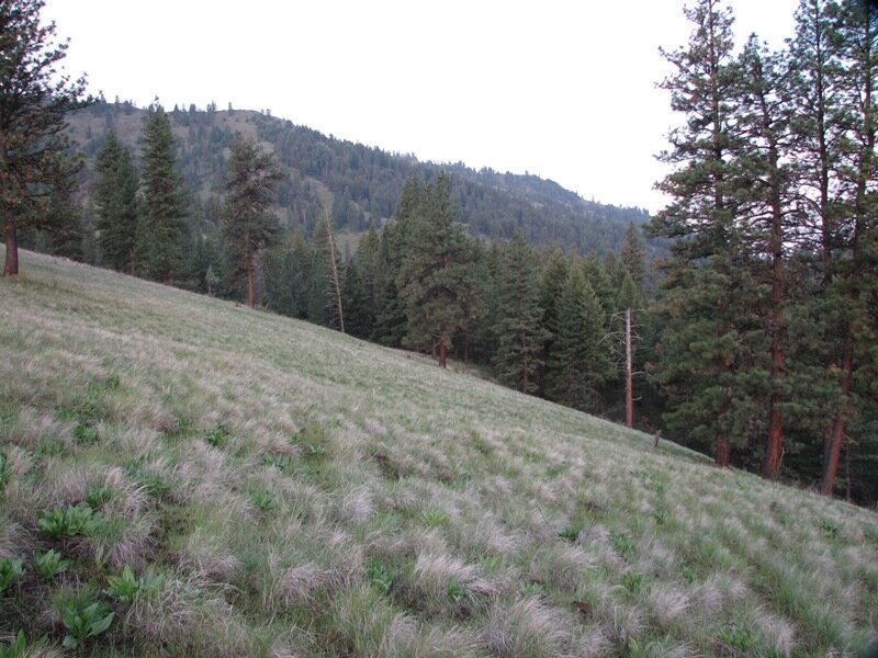
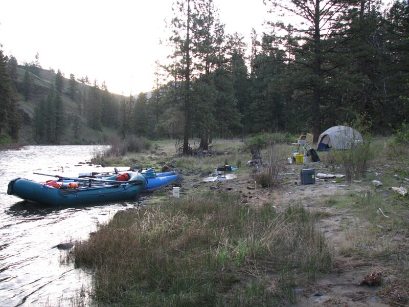
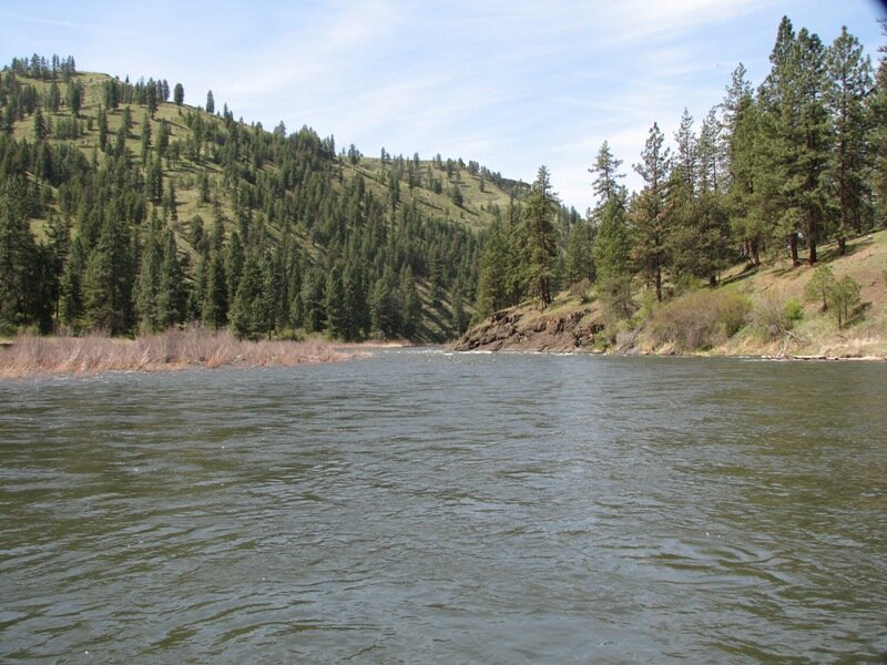
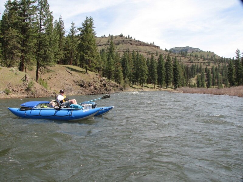
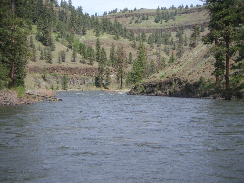
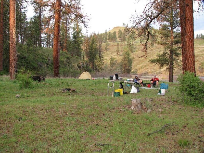
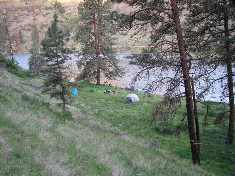
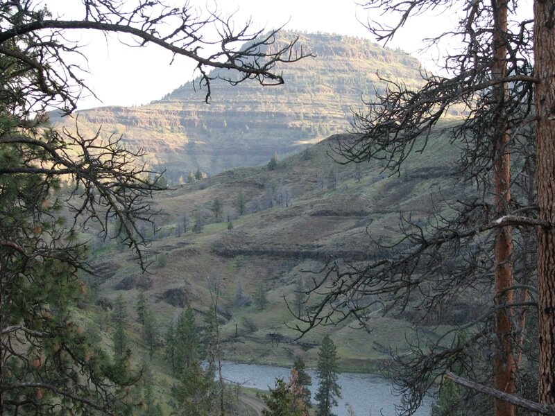
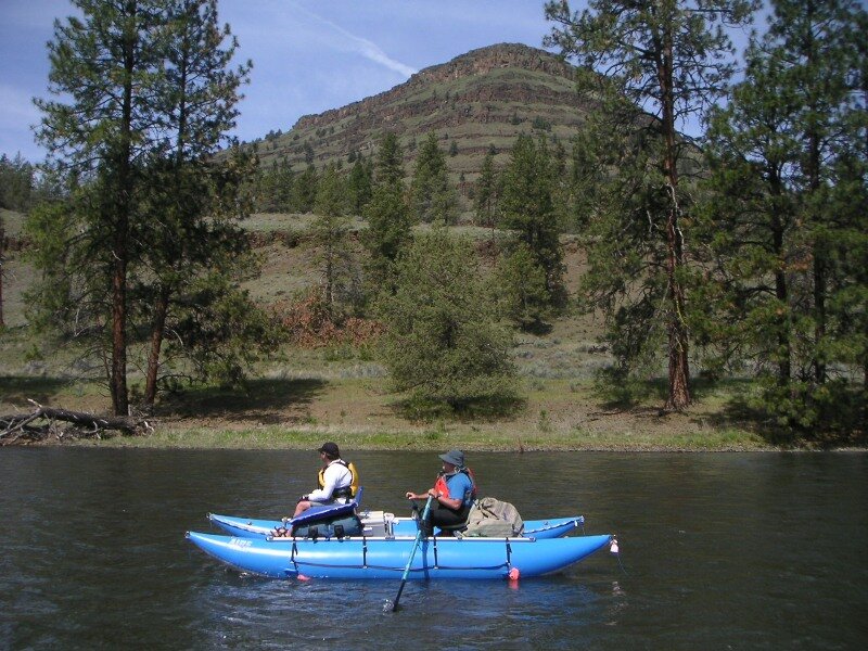
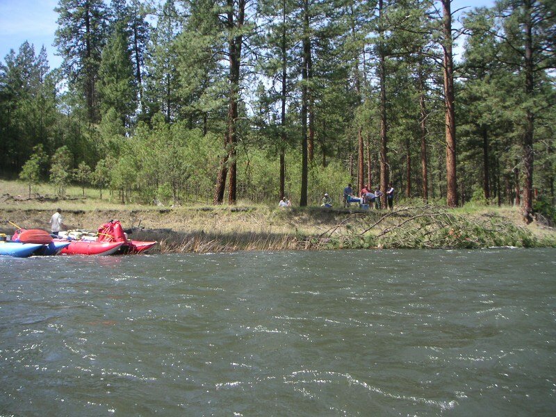
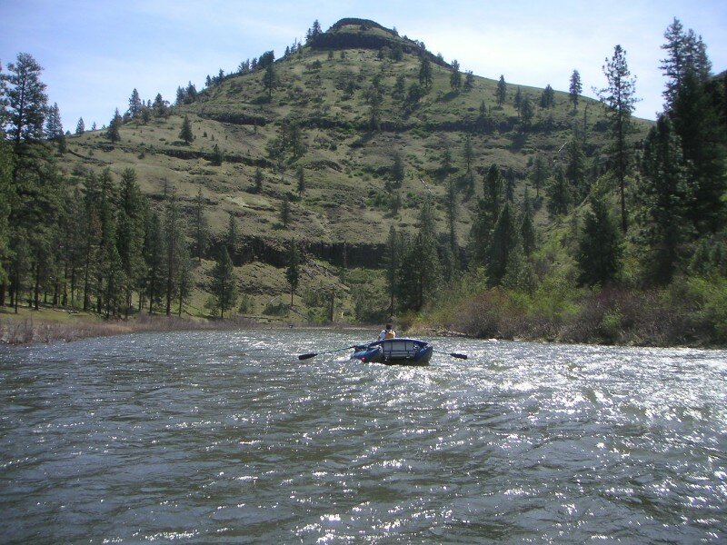
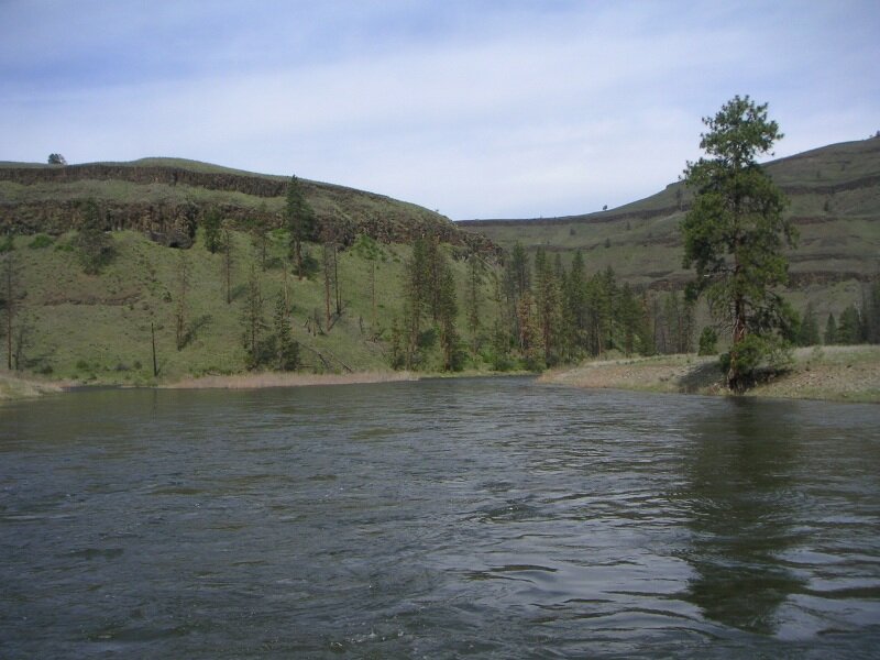
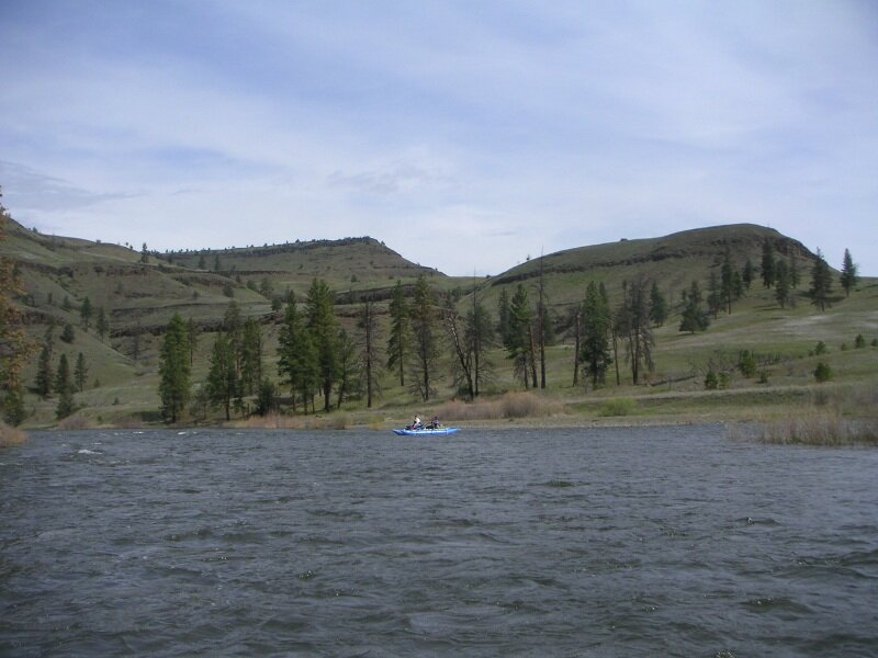
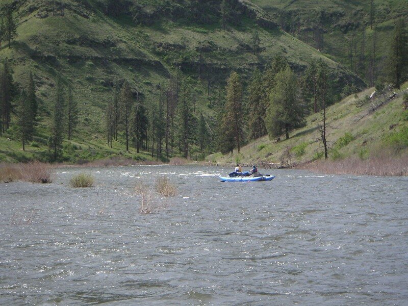
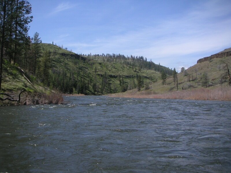
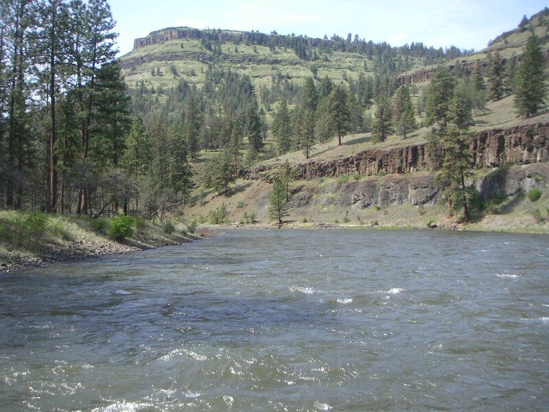
The North Fork of the John Day River in northeastern Oregon is another family trip river. While rapids are mild and few, the current rolls along, keeping the scenic vistas coming one after the other. Hillsides are meadows of mountain grasses punctuated by scattered stands of Ponderosa Pine, inviting hikes up to the ridgelines to get broad views of the surrounding territory. Campsites are informal, where you find them, literally everywhere. A minor detraction is that narrow dirt roads follow the river for long distances at both ends of the run.

Put-In: Camas Landing, 1/4 mile below Camas Creek

Take-Out: Monument River Access

Miles: 42

Managing Agency: USFS North Fork John Day Ranger District

Campsites: North Fork John Day Campsites

  • A cataraft running a small rapid with a tree covered hillside beyond
    The green bouncy water of the North Fork of the John Day River
    A raft floating through a long bend in the John Day River with grassy hillsides on both banks
  • Put-in at Camas Landing
    North Fork John Day Scenery
    Typical Campsite in the upper section of the run
  • North Fork John Day Scenery
    North Fork John Day Scenery
    North Fork John Day Scenery
  • This is about as rapid as it gets
    North Fork John Day Scenery
    Nice left-side camp about a quarter mile after road leaves the river
  • Typical camping area in the lower section of the run
    Scarce campsite below Wall Creek
    Johnny Cake Mountain dominates the vistas
  • North Fork John Day Scenery
    A typical campsite
    North Fork John Day Scenery
  • North Fork John Day Scenery
    North Fork John Day Scenery
    North Fork John Day Scenery
  • North Fork John Day Scenery
    North Fork John Day Scenery
    North Fork John Day Scenery